Ouachita Trail Day 3 – Arkansas
- Nov 20, 2020
- 2 min read
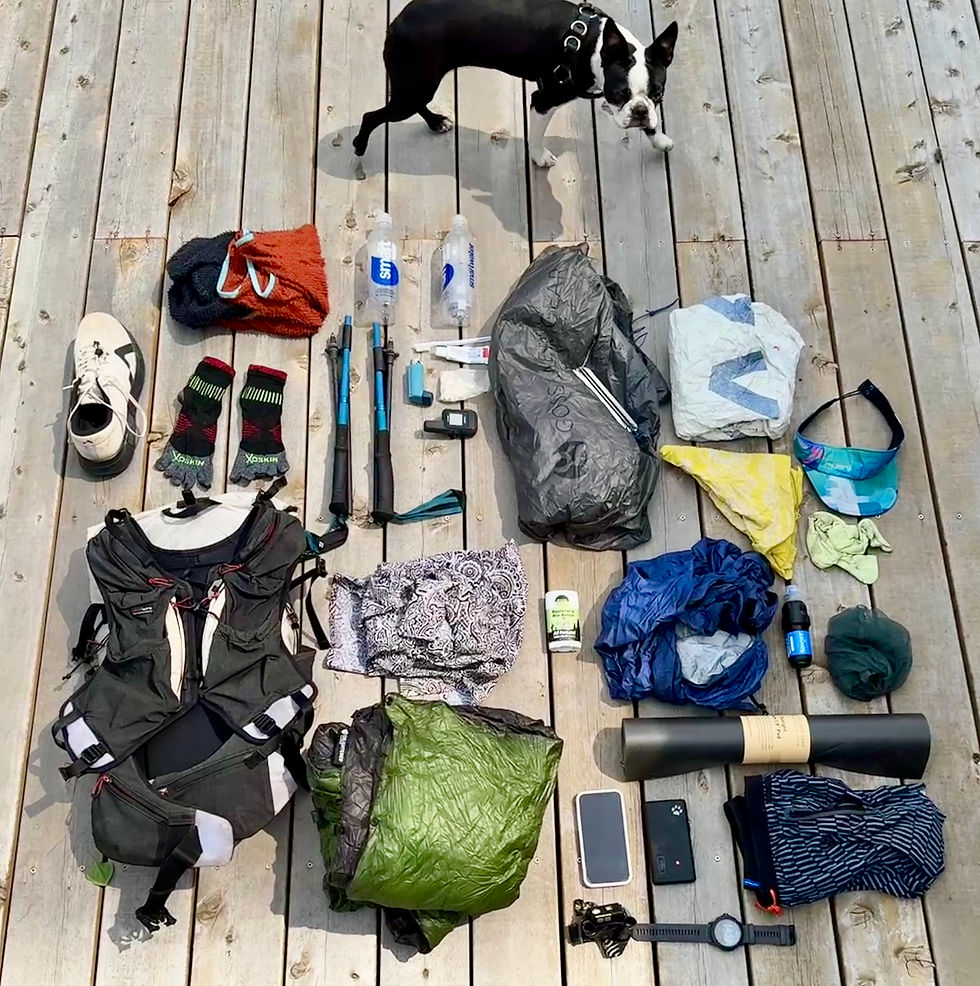
The Ouachita Trail is blazed. Blue paint marks the trail about eye height every hundred feet. But the east coast style of marking does not mean it is constructed in the east coast style. The climbs are gradual, with switchbacks meandering yo the tops if rocky ridges. The grade of the trail is similar to the PCT, despite the AT style markings. Signs are plentiful and getting more than a few feet off the trail is difficult. But the blanket of leaves on the ground largely obscures the tread of the pathway, making the blue blazes a welcome reassurance of the right path.
We got up the moment the sunlight hit our tent. It was 7am and on our second morning we truly felt like thru hikers. Maggie’s sleeping pad served as little more than a footprint for her sleeping bag, so she was especially ready to make progress. We left the campground, dropped our trash in the receptacle (including Maggie’s holey sleeping pad and her 4 pound bag of licorice candy) and began to climb. The wind howled and attempted to blow my cowboy hat off my head. It drowned out any opportunity of conversation and the climb had us quickly shedding layers. We circled Rough Mountain and continued down the connected ridge that housed considerably less leaves due to the incredible wind. From there we seesawed along the ridges hearing birds and seeing deer scraper along the hillside. The weather was beautiful and all of a sudden the wind died down near Big Cedar Trailhead on Highway 259. A few clouds sat way out on the horizon, but it was going to be another perfect day.
We crossed Pashubbe Creek and then climbed up Wilton Mountain. I pulled ahead as far as I could with a plan in mind. Over the mountain and down to the Kiamichi River I flew in hopes of banking enough time to sneak a four mile run in without holding Maggie up too much. Near the river I stowed my pack, turned around and ran straight back up the mountain. A mile in I saw Maggie descending the rocky mountain and said a quick hello before huffing up to the top of the mountain. Two miles out and up the mountain meant two miles back down to total a refreshing four mile run. We topped off our water at the river, took our shoes off to relax and then powered up another climb to the Arkansas state line. We found a beautiful shelter that provided refuge from the wind and each has a 1,000 calorie dinner to celebrate another perfect day on the trail!

#OuachitaTrail #backpacking #Arkansas #Blog #thruhikinginarkansas #backpackinginOklahoma #Oklahoma #pinnaclestatepark #whatisathruhike #howlongistheouachitatrail #LittleRock #howtothruhiketheouachitatrail #backpackinginarkansas #howtobackpack #backpackingtheouachitatrail #backpackinglocationsinarkansas #Oklahomathruhike #thruhiking


Comments